
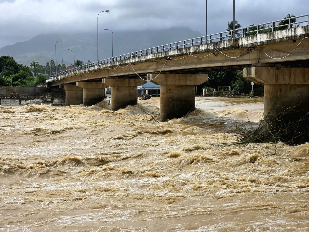
HCMC – Vietnam’s national weather agency on Wednesday issued its highest-level disaster alert for eastern Dak Lak Province as rising rivers threatened severe flooding, landslides, and flash floods across the Central Highlands and south-central coastal regions.
The National Center for Hydro-Meteorological Forecasting said water levels on rivers from Hue to Khanh Hoa and across the Central Highlands had surged since this morning, November 19, with conditions deteriorating rapidly.
The water level on Ba, Kon, and Krong Ana rivers were rising quickly, and several monitoring stations reported exceptionally high levels. Other rivers from Hue, Danang, Quang Nam, Quang Ngai, Gia Lai, and Khanh Hoa were hovering at alarm levels one to three, including the Dinh River in Khanh Hoa, which has exceeded the third alarm threshold.
Authorities urged residents to avoid traveling through deeply flooded areas, low-lying crossings, or landslide-prone slopes, and to evacuate from high-risk zones when instructed by local officials.
In Dak Lak, heavy rainfall last night turned low-lying areas into fast-moving streams, leaving multiple villages isolated and causing severe traffic disruptions.
Provincial traffic police deployed maximum personnel to redirect vehicles and block dangerous routes, warning that National Highway 29—an arterial route linking western and eastern Dak Lak—was nearly paralyzed by floodwaters.
Parts of the region, including areas formerly under Phu Yen Province’s administration, reported inundation of up to two meters. Thousands of residents fled rising waters, moving belongings and vehicles to higher ground, while others watched their homes and assets submerge.

The weather agency said flooding could worsen in the coming hours, advising communities to stay alert and follow official guidance as rescue and response operations continue.