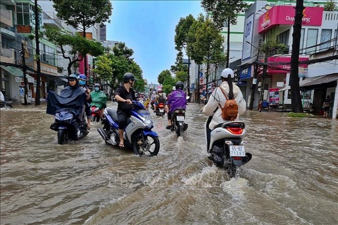
HCMC – Provinces in the Mekong Delta are suffering from serious flooding as flood tides approach the 2019 historic peak.
On the Hau river in Can Tho City, water levels have swollen to level 3, the most critical. As water levels are forecast to rise further in the coming days, the record of 2019 would be broken.
Several provinces in the Mekong Delta have been inundated due to upstream floods and high tides.
Data from the Directorate of Water Resources under the Ministry of Agriculture and Rural Development showed that floods coupled with high tides would adversely affect farming, according to the Voice of Vietnam radio station, with more than 53,000 hectares at risk.
Among them are 28,000 hectares in Hau Giang Province, some 8,000 hectares in Can Tho City, nearly 13,000 hectares in Vinh Long Province, and 3,500 hectares in Kien Giang Province.
Can Tho City’s water level measured on October 9 was 2.17 meters, 0.17 meters above level 3. Low-lying areas along rivers will continue to experience deep flooding, according to Can Tho authorities.
According to forecasts from the Can Tho Hydro-Meteorological Forecasting Center, high tides will peak between October 11 and 12. A tidal peak exceeding level 3 causes waterlogging in low-lying areas and the inner city along the river of Can Tho during this high tide.
In HCMC, both the inner city and outlying areas will be affected by high tides. In the next three to four days, water levels in the downstream of the Dong Nai and Saigon rivers will continue rising rapidly and remain at level three, according to the Southern Hydrometeorological Forecasting Center. Particularly, the peak tide level on October 10-12 is forecast at 1.63-1.66 meters at Phu An and Nha Be stations.


