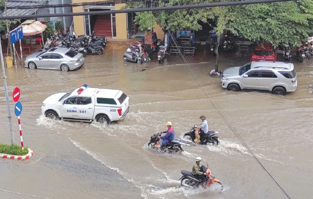
HCMC – The Mekong Delta is facing a high risk of severe flooding in the second half of September due to a combination of upstream floods from the rising Mekong River, high tides and potential heavy rainfall.
The Southern Institute of Water Resources Research has issued an urgent advisory on possible flooding in the Mekong Delta.
According to the U.S. National Oceanic and Atmospheric Administration (NOAA), the Mekong River basin has been heavily impacted by typhoon Yagi over the past week.
Flood tides are forecast to peak between September 19 and 22, with water levels at the Tan Chau and Chau Doc stations expected to exceed last year’s levels.
In the inland areas of the Mekong Delta, some stations in An Giang, including Long Xuyen and Vam Nao, are at risk of flooding, with water levels potentially surpassing alert level 2.
In the central part of the Mekong Delta, monitoring stations along major rivers, including Can Tho, My Thuan, Cao Lanh, Lai Vung, and parts of the Ca Mau Peninsula, have already seen water levels exceed alert level 2.
The combination of flood tides and heavy rainfall could further elevate water levels in Can Tho, putting many low-lying residential areas at risk.
Local authorities are urged to take measures to cope with flooding, including reinforcing dikes, monitoring weather forecasts, operating drainage systems, preparing pumping plans, and readying emergency response teams.


