HCMC – A low-pressure area north of the East Sea picked up strength to develop into a tropical depression this morning, August 4, according to the national weather center.
By 7 a.m. today, the tropical depression was spotted southwest of China’s Guangdong, packing winds of some 50 kilometers per hour.
In the next 24 hours, the system is expected to move west-northwest at 10-15 kilometers per hour and make landfall in Guangdong Province before weakening into a low-pressure area.
Given the impact of the tropical depression, the waters north of East Sea could see strong winds, high tides, and rough seas.
Besides, as the southwest monsoon is strengthening, coastal areas from the central province of Binh Dinh to the Mekong Delta province of Ca Mau, from Ca Mau to Kien Giang and the Gulf of Thailand are forecast to experience showers, thunderstorms, whirlwinds and gusty winds.
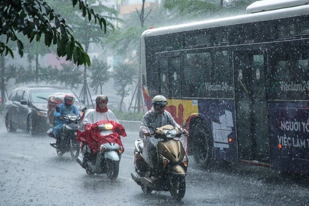
Heavy downpours are expected in northern and north-central provinces.


